Kyiv Inter Active
GIS online map Kyiv Interactive
kyiv.lvivcenter.org- Done: 2019-2020
- Industry: History. Digital Humanities
Project goals:
Works done and goals achieved:
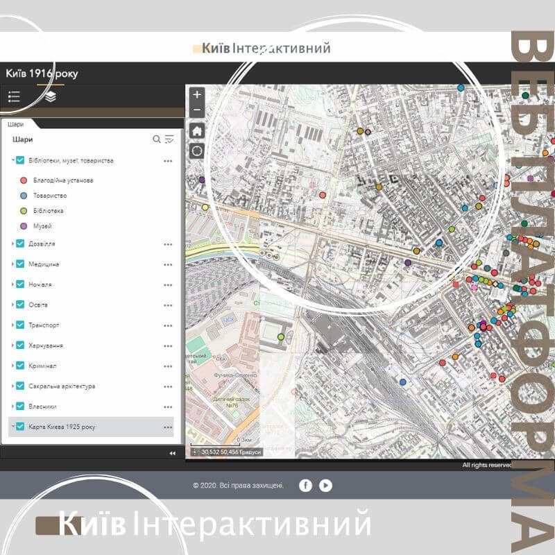
- We did online map on ArcGIS system with markers, filters and different layers.
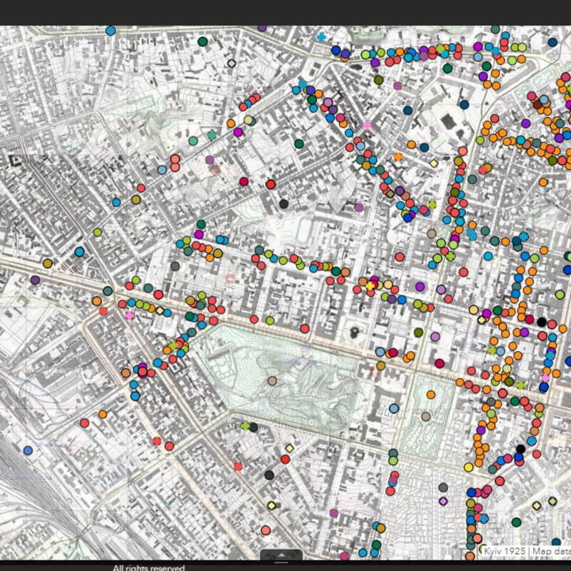
- Old map of city of Kyiv as of 1916 was warpped onto the nowadays map.
- Stories about life in Kyiv at 1916 and before was added as story telling.
- Created web platform is responsive for different platforms and devices.
- Created web site has the Accessibility level - 93/100 based on lighhouse audits.


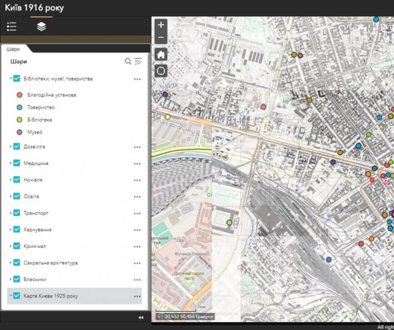
Kyiv InterActive Map
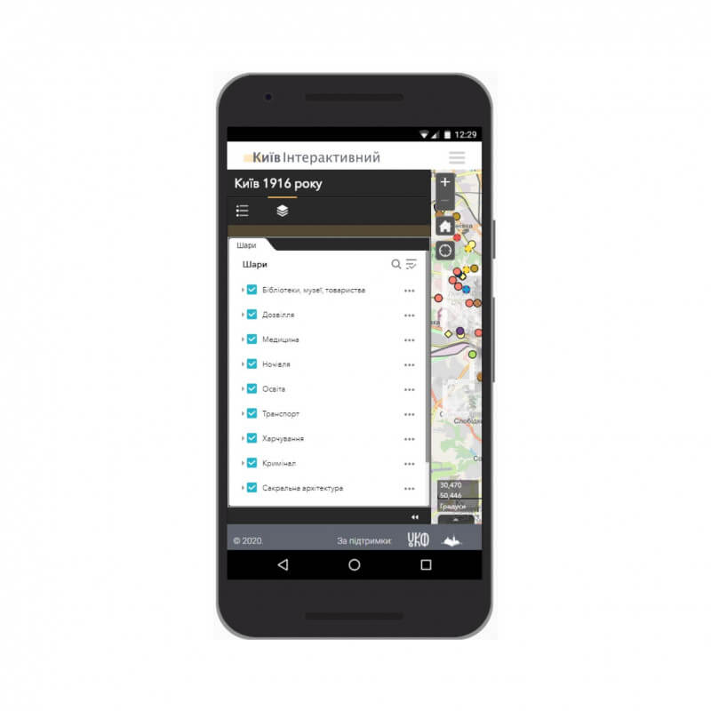
Interactive online map is the main tool of Kyiv interactive web platform. Based on it the educational historical platform planned to be developed.
The map shows buildings, insitutions and some historical places in the form of markers of different types and colors.
The map allows you to view information and data from the database by clicking on the appropriate marker.
The old map of Kyiv of 1916 is warpped and made as a separate layer.